
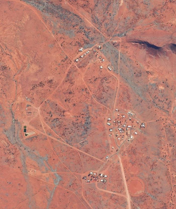
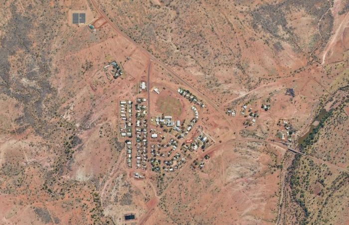
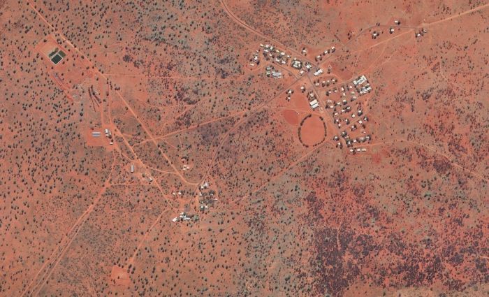
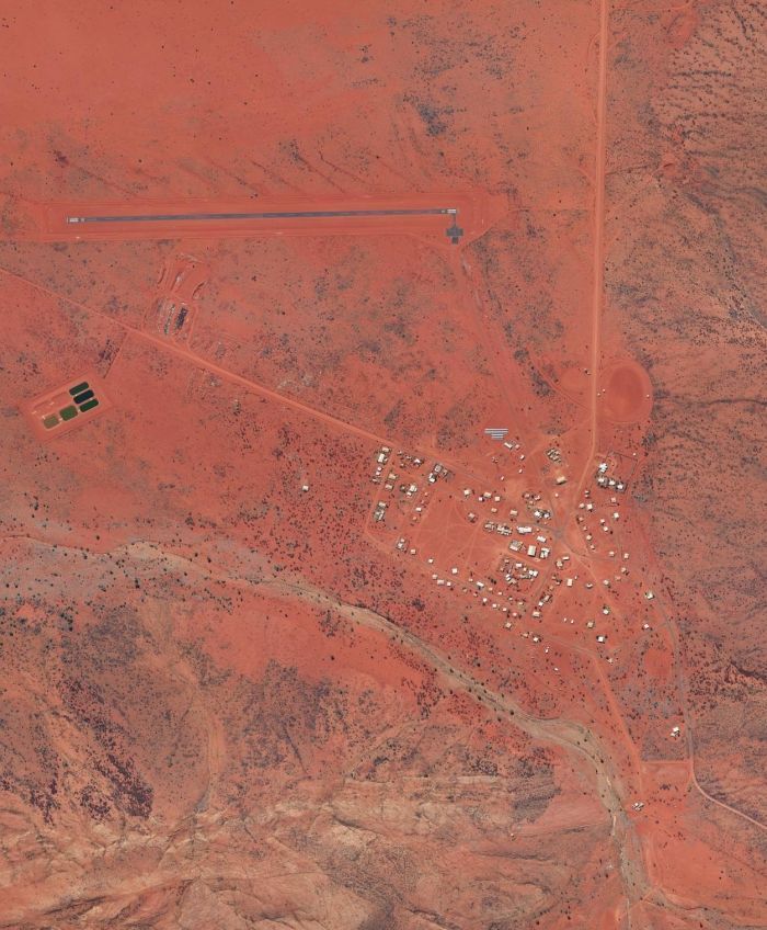
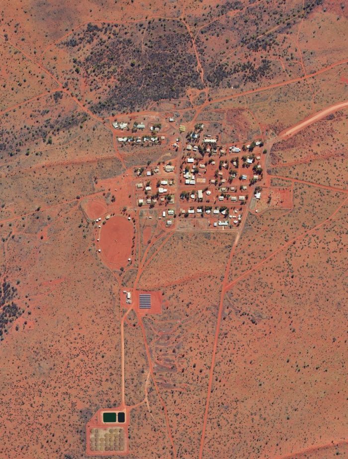
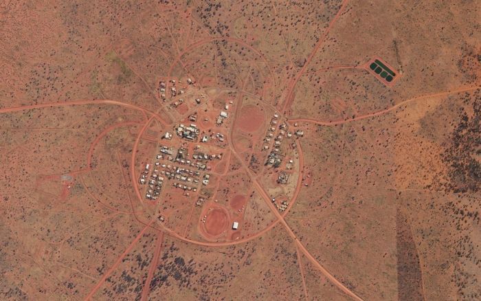
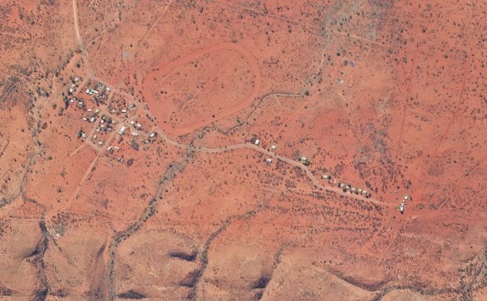
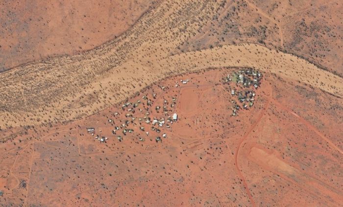
Gwoja Communities
Amanbidji
Amanbidji is located south east of Katherine on the Nagurunguru Aboriginal Land Trust near the West Baines River.
Local Government Council : Victoria Daly
Aliases : Amanbidgee Station, Kildurk and Mialuni
Main Language : Ngarinyman / Kriol
Population : 88 (Based on ABS 2021 Census SA1)
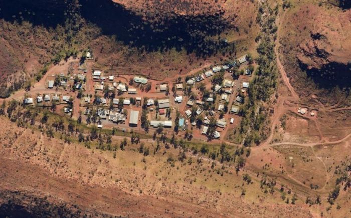
Areyonga
Areyonga is located west of Alice Springs within the crevice of the surrounding hills on the Haasts Bluff Aboriginal Land Trust.
Local Government Council : Macdonnell
Aliases : Utju
Main Language : Pitjantjatjara
Other Languages : Luritja/Pintubi, Western Arrente
Population : 277 (Based on ABS 2021 Census SA1)
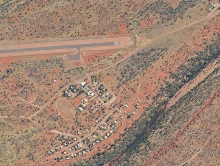
Daguragu
Daguragu is located south west of Katherine, on the banks of Wattie Creek and near Kalkarindji on the Daguragu Aboriginal Land Trust.
Local Government Council : Victoria Daly
Aliases : Dagaragu and Wattie Creek
Main Language : Gurindji / Kriol
Population : 230 (Based on ABS 2021 Census SA1)
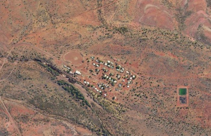
Haasts Bluff
Haasts Bluff is located west of Alice Springs on the Haasts Bluff Aboriginal Land Trust amongst the West MacDonnell Ranges. To the north is Ulampawarru and Anyali (Mt Edward and Mt William), and to the south is the stunning Mereenie Bluff.
Local Government Council : Macdonnell
Aliasas : Ikuntji and Kunparrka
Main Language : Luritja/Pintupi
Population : 96 (Based on ABS 2021 Census SA1)

Hermannsburg
Hermannsburg is located west of Alice Springs on the Ntaria Aboriginal Land Trust just north of the Finke George National Park and on the banks of the Finke River
Local Government Council : Macdonnell
Aliases : Ntaria
Main Language : Western Arrernte
Population : 647 (Based on ABS 2021 Census SA1)
Imanpa
Imanpa is a Community Living Area south west of Alice Springs within the Mt Ebenezer Pastoral Property.
Local Government Council : Macdonnell
Aliases : Mt Ebenezer
Main Language : Pitjantjatjara
Other Languages : Southern Luritja
Population : 146 (Based on ABS 2021 Census SA1)
Kalkarindji
Kalkarindji is located south west of Katherine near the boarder of Wave Hill Pastoral Property and Daguragu community.
Local Government Council : Victoria Daly
Aliases : Kalkaringi and Wave Hill
Main Language : Gurindji / Kriol
Population : 450 (Based on ABS 2021 Census SA1)
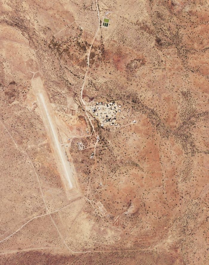
Kaltukatjara
Kaltukatjara is located in the Petermann Ranges in the far south western corner of the Northern Territory, 7 kms east of the Western Australian border and part of the Petermann Aboriginal Trust.
Local Government Council : Macdonnell
Aliases : Docker River and Kalktukatjara
Main Language : Pitjantjatjara
Other Languages : Ngaatjatjara
Population : 269 (Based on ABS 2021 Census SA1)
Kintore
Kintore is located west of Alice Springs. It is nestled at the base of culturally important hills known as Pulikatjara ('two hills') near the Western Australia Border and part of the Haasts Bluff Aboriginal Land Trust.
Local Government Council : Macdonnell
Aliases : Walangkura, Walangura and Walungurru
Main Language : Luritja/Pintupi
Population : 493 (Based on ABS 2021 Census SA1)
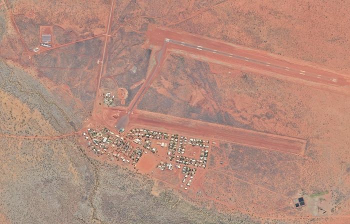
Lajamanu
Lajamanu is located south west of Katherine on the northern edge of the Tanami Desert and the eastern side of Hooker Creek as part of the Hooker Creek Aboriginal Land Trust. Lajamanu also borders the southern boundary of Wave Hill Station.
Local Government Council : Central Desert
Aliases : Hooker Creek
Main Language : Warlpiri
Population : 767 (Based on ABS 2021 Census SA1)
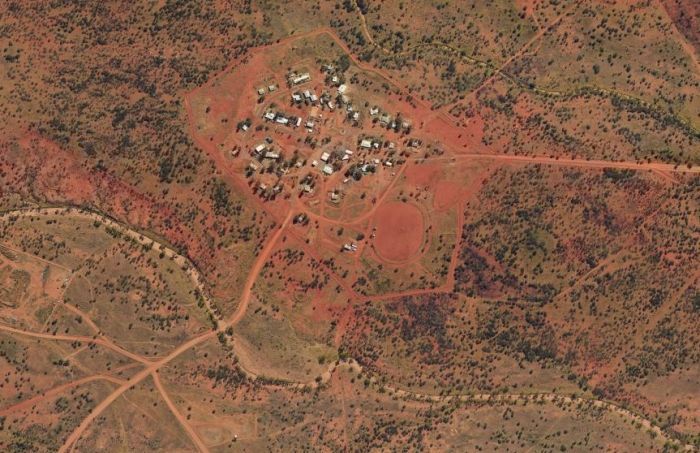
Laramba
Laramba is located north west of Alice Springs on a Community Living Area within the Napperby pastoral property.
Local Government Council : Central Desert
Aliases : Napperby and Napperrby
Main Language : Anmatyerr
Other Languages : Tiwi (Traditional)
Population : 222 (Based on ABS 2021 Census SA1)
Mount Liebig
Mount Liebig is located west of Alice Springs on the Haasts Bluff Aboriginal Land Trust at the western end of the Western McDonnell Ranges.
Local Government Council : Macdonnell
Aliases : Amunturangu, Amunturrunga, Anturgunu, Mt Liebig and Watiyawanu
Main Language : Luritja/Pintupi
Population : 282 (Based on ABS 2021 Census SA1)
Mutitjulu
Mutitjulu is located at the base of Uluru (also known as Ayers Rock) within the Uluru-Katatjuta National Park, south west of Alice Springs.
Local Government Council : Macdonnell
Aliases : Ayers Rock and Mutitjula
Main Language : Pitjantjatjara
Other Languages : Luritja/Pintupi
Population : 348 (Based on AB 2021 Census SA1)
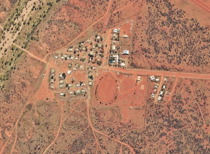
Nyirripi
Nyirripi is located close to the southern and south western extent of traditionally owned Warlpiri land on the Yunkanjini Aboriginal Land Trust between Newhaven and Mount Doreen Pastoral Properties.
Local Government Council : Central Desert
Aliases : Waite Creek
Main Language : Warlpiri
Population : 295 (Based on ABS 2021 Census SA1)
Papunya
Papunya is located on the Haasts Bluff Aboriginal Land Trust west of Alice Springs.
Local Government Council : Macdonnell
Main Language : Luritja/Pintupi
Other Languages : Arrernte dialects
Population : 514 (Based on ABS 2021 Census SA1)
Wallace Rockhole
Wallace Rockhole is located west of Alice Springs on the Uruna Aboriginal Land Trust and is near Henbury and Owen Springs Pastoral Properties.
Local Government Council : Macdonnell
Aliases : Ulana, Uranda and Wallace Rock Hole
Main Language : Western Arrernte
Population : 102 (Based on ABS 2021 Census SA1)
Willowra
Willowra is located north of Alice Springs on the Wirliyajarrayi Aboriginal Land Trust.
Local Government Council : Central Desert
Aliases : Willowra Station and Wirliyatjarrayi
Main Language : Warlpiri
Population : 261 (Based on ABS 2021 Census SA1)
Yarralin
Yarralin is located on the banks of the Wickham River south west of Katherine on the Ngalkarrang-Wulngann Aboriginal Land Trust surrounded by the Victoria River Downs Pastoral Property.
Local Government Council : Victoria Daly
Main Language : Ngarinyman / Kriol
Population : 332 (Based on ABS 2021 Census SA1)
Yuelamu
Yuelamu is located north west of Alice Springs on the Yalpirakinu Aboriginal Land Trust south of Mount Denison Pastoral Property.
Local Government Council : Central Desert
Aliases : Alpirakina, Alpirakinga, Mount Allan and Mount Allen
Main Language : Anmatyerr / Warlpiri
Population : 175 (Based on ABS 2021 Census SA1)
Yuendumu
Yuendumu is located on the edge of the Tanami Desert north west of Alice Springs on the Yuendumu Aboriginal Land Trust. The Land Trust boarders Mount Doreen, Mount Denison, Central Mount Wedge and Mount Allan Pastoral Properties.
Local Government Council : Central Desert
Main Language : Warlpiri
Population : 869 (Based on ABS 2021 Census SA1)
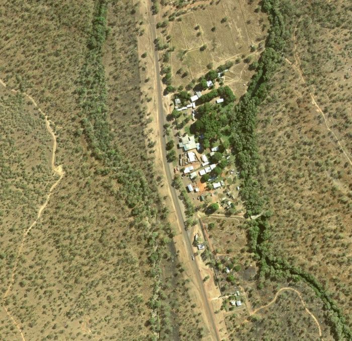
Timber Creek
Timber Creek is nestled in the Victoria River valley escarpment country south west of Katherine and lies at the central point on the Victoria Highway between Katherine and Kununurra.
Local Government Council
Victoria Daly
Main Language
Ngarinyman / Kriol
Population
326
